Waterproof Charts
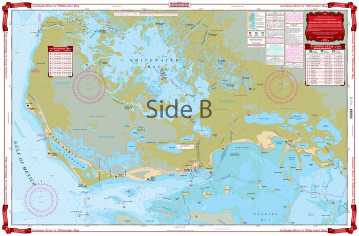
Waterproof Charts - Standard Navigation Chart - Lostmans River to Whitewater Bay #39
Waterproof Charts - Standard Navigation Chart - Lostmans River to Whitewater Bay #39
Couldn't load pickup availability
Description:
Our chart includes detailed coverage of the southwest Everglades. Coastal and inland coverage runs from Plover Key south to Shark River on the north side, including Lostmans and Broad Rivers. The south side has detailed coverage of the coast of Cape Sable, and all of Whitewater Bay on the inside. Complete details for the Wilderness Waterway for small boaters and canoeists. (Complete this trip to Everglades City with nautical chart #41). This navigation map also includes Flamingo and north Florida Bay area south to Clive Key and east to the Dump Keys and Terrapin Bay. Keep one of these charts on your vessel, and have the other framed to display on your home or office wall. Information from 2 NOAA Charts: #11433 & #11432. Nautical Chart is 25″ X 38″. WGS84 – World Mercator Datum.
Camping Areas
GPS Positions
Marsh & Mangrove Areas
NOAA Resources
Wilderness Waterway
Share